Asset Inventory and Survey
Surveying and Mapping of Building System and Asset
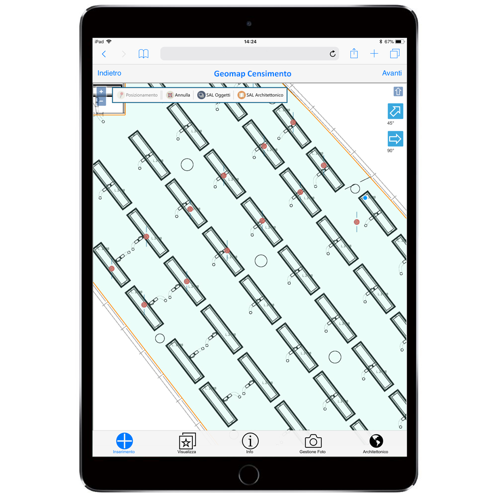
GEOMAP Web App enables to map building systems and technical components quickly and accurately. In particular, our activities allow us to digitize each component in a dedicated data sheet that includes all the relevant information.
- Location in the Floor Plan
- Picture
- Measurements
- Technical and Spec data
- Documentation
100% Mapping - Building On-Demand
Smart Space Management
Through our technology, our technicians are able to carry out an advanced service of mapping of plants and spaces. Once the data has been collected, we proceed to carry out the necessary technical activities in order to release the updated plans and the relative installations and objects.
Once the data has been collected, we model and release the updated plans.
Through our technology, we measure and label plants and objects in order to map them, update plans and compile technical data.
In addition to 2D detection, we can digitize spaces in 3D and offer a unique solution quickly. Click here to discover our solution.


