REAL ESTATE AND ASSET GEO-LOCATION
Real Estate Geo-Location
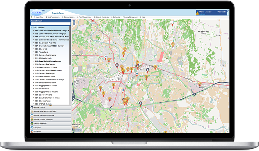
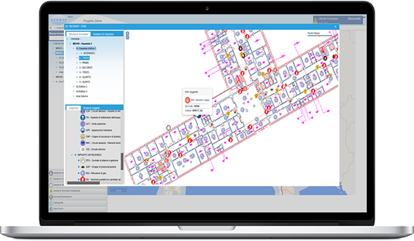
G.I.S. module allows the visualization of the properties managed directly in the cartography. After selecting a property in the cartografy is possible to access to all its information and navigate in the floor plan as well as query the assets present. This technology thus offers a new graphical approach to the information and a user-friendly and effective analysis tool.
The system geolocalize maintenance activities directly on the map, optimising the management and allocation of resources.


