G.i.s. and Cad Technology for an easy and visual approach to data
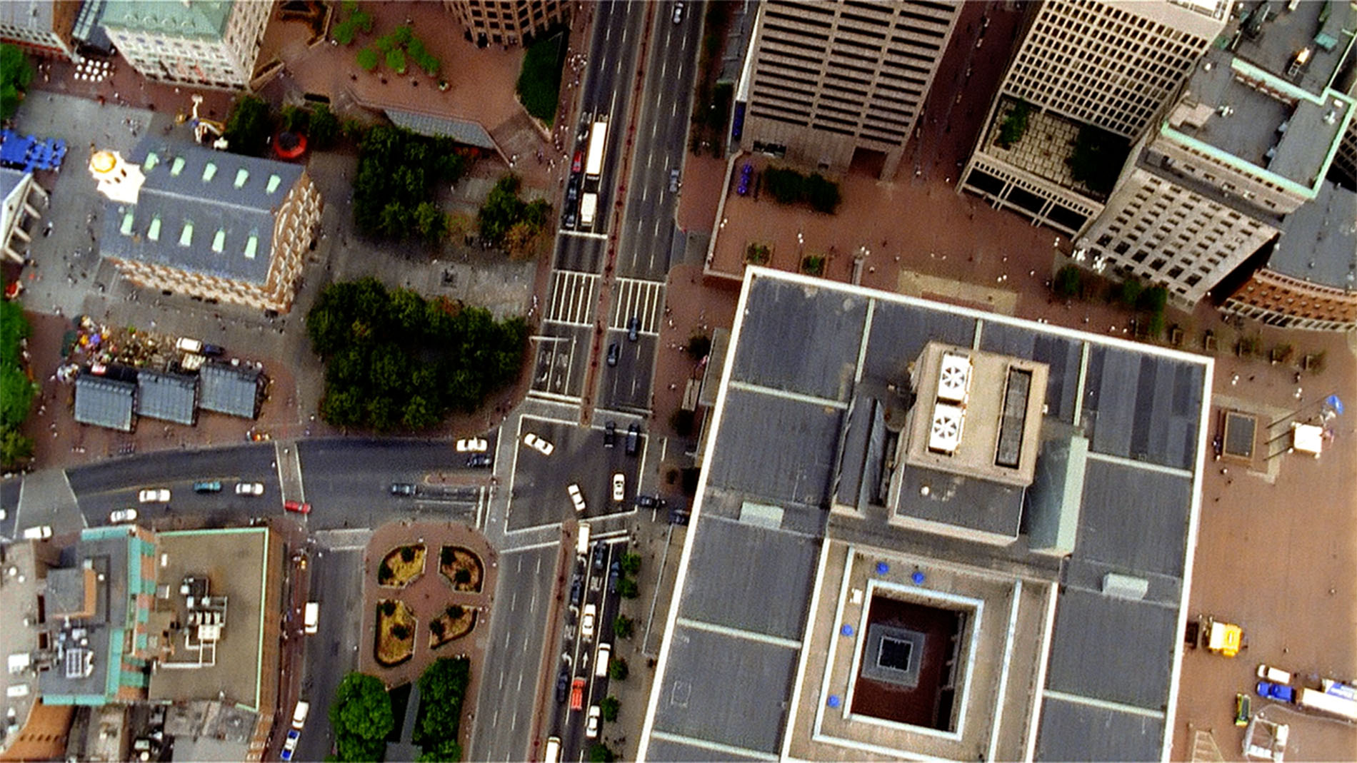
All our Softwares are G.I.S. based
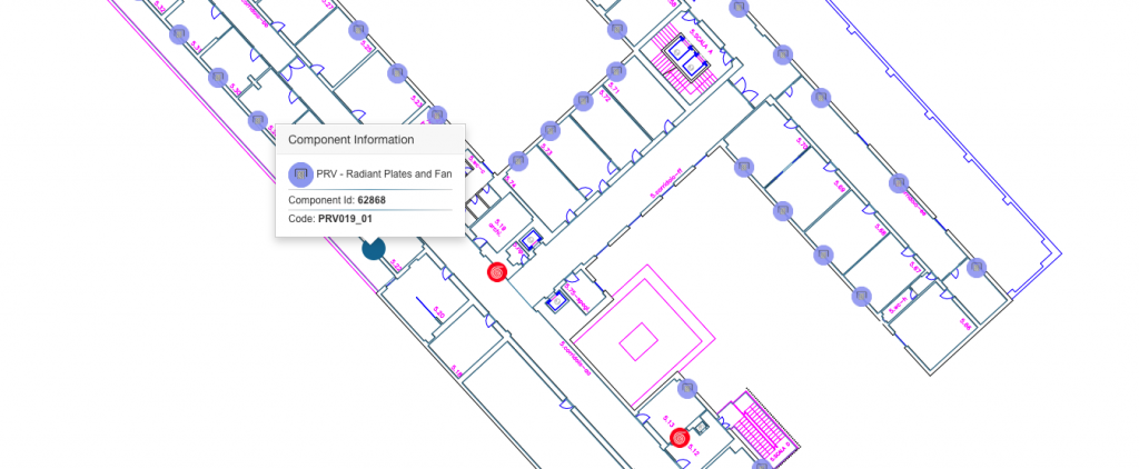
Thanks to GIS technology, each technical component managed is georeferenced in the floor plan. This allows a visual approach to the information, offering the user the possibility to query the objects directly from the floor plan.
Results Offered
- Visualization and management of building systems and technical components in floor plans
- Visualization and management of real estate in cartography
- Visualization and spatial management of maintenance activities
- Integration with other G.I.S. information systems
CAD
Compatibility and interoperability with the CAD standard
All our information systems are CAD based. This allows to view the objects in the floor plan and access to them just with a simple click.
Thanks to the compatibility with the CAD standard, we can quickly import floor plans in order to setting up the Software.
In addition, all the objects created in GEOMAP can be exported to CAD interchange formats.


